Overview
Once, only cartographers made maps. Today anyone can. Still, cartographers can teach people to make better maps, just as chefs can show people how to cook better meals. With coaching from experienced cartographers and practical, hands-on exercises using ArcGIS Pro, you’ll become a smarter mapmaker, ready to go beyond the defaults and make better maps.
Syllabus
Section 1
Getting Started: Let’s Get Mapping
Consider the value and purpose of cartography as science and art. Get set up with ArcGIS Pro, ArcGIS Online, and exercise data. Use ArcGIS Pro to design a small-format, multiscale topographic map, using generalization tools and scale-dependent symbology. Use layouts for composition. Add contextual detail, insets, legends, and marginalia.
Section 2
Math for Mapmakers
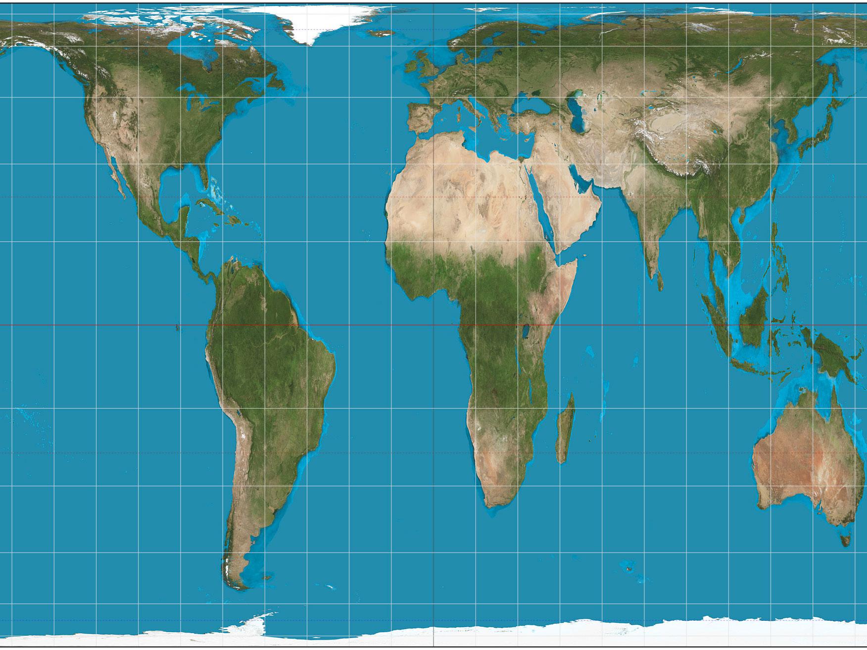
Explore how coordinate systems, transformations, and projections affect your map’s message. Deal with the effects of projections and data classification methods on thematic maps. Design and publish a custom basemap in a nonstandard projection to support thematic data. Build attribute-driven symbology. Publish a multiscale web map and app.
Section 3
Language of Graphics
See how generalization, symbology, and color affect your story. Explore generalization techniques that reduce feature complexity for smaller-scale displays. Create a variety of thematic maps, including choropleth, proportional symbol, value-by alpha, and multivariate maps. Change symbology and use transparency in creative ways.
Section 4
Labels and Composition
Learn a little about typography, label placement, and map composition. Set up a palette of label styles for different features and explore options for positioning them around other map details. Create a layout that includes a range of marginalia. Use ArcGIS expressions to define labels in innovative ways.
Section 5
Mapping in 3D
Consider how to best use the z dimension to represent data for both reference and thematic maps. Use 3D symbology and develop a sense of when 3D adds value to your map. Build 3D web scenes and vary the way features are represented using attributes and dynamic symbology.
Section 6
Mapping Change
Use the time-aware and animation controls in ArcGIS Pro to design maps that show temporal change. Direct an animated movie to map change; add captions and dynamic overlay information; and publish in a range of popular, shareable formats. Create a display of small multiples for an infographic poster.


Reviews
There are no reviews yet.